The prehistoric settlement site of Jarlshof is situated just 350 meters from the runway at Sumburgh, the main airport for the Shetland Islands. The site has a complex 4,500 year chronology which best understood from above where the different eras of settlement can be distinguished. For these reasons I chose the site as a main case study for my experimentation, aware that it's position well within a controlled air traffic zone would mean working closely with the demands of Air Traffic Control if permission for my planned kite aerial photography was to be made possible.
 The photograph and map above show the proximity of Jarlshof to Sumburgh Airport, in particular the approach to runway 33 which lies a few hundred meters from the site.
In the months before my field trip I was put in touch with the senior air traffic controller at Sumburgh. After establishing the details of the location, the height I would be flying at and the periods I would be flying for, permission was granted at the discretion of the air traffic controller on duty at the time, with the provision that I would be able to land all of my equipment on request if necessary. On arriving in Shetland I was shown the air traffic control tower which is directly across the bay overlooking Jarlshof. It was explained that the on-duty controller is always sat beside an assistant whom I would speak to in the first instance to request permission to fly.

 Left: Visiting the air traffic control tower. Jarlshof is visible across the bay in the background
Right: As well regular fixed wing aircraft Sumburgh Airport is frequented by helicopter traffic.
Once the procedures had been established I had a five day window for kite aerial photography with each session dependant on weather and on the demands of air traffic. All told I requested to fly five times, all of them for one hour apart from one sunset session which lasted an hour and a half. Sometimes I was able to fly straight away while on other occasions I had to wait for a quieter period, although the longest I had to wait was an hour. On a couple of occasions I was asked to bring my my equipment down while incoming planes and helicopters passed within close proximity. Where flight paths were far enough away to not be an issue both the pilot and myself would be notified of each others activities and we would both continue. On each occasion I would call to confirm when I was done and my equipment was back on the ground.
 Jarlshof is situated on a small outcrop near a sandy bay which would have been used a harbour throughout it's history. Sumburgh Airport is visible just beyond the beach in this kite aerial photograph.
Once again the changeable Shetland weather provided the opportunity for photographs in different lighting conditions, the harsh sunlight above being perhaps the least useful. In bright but overcast conditions I was able to capture some material more suitable for photogrammetry to supplement my previous work with pole aerial photography towards a 3D mesh of the site.
 Iron Age broch and wheelhouse structures which lie beneath the 16th Century laird's house.
The ambient light created by overcast weather also provided the best conditions to photograph the broch remains in their entirety, a view which can only be obtained directly above the west corner of the ruined laird's house wall. As usual conditions were most illustrative towards sunset when a low light angle picked up the subtle topography of the site.

 Left: Sumburgh Head, the southerly limit of Shetland lies just along the coast from Jarlshof.
Right: The kite and camera rig in action during patchy weather.
Below: In this general view the low light helps to distinguish the different layers of the site.

Low altitude aerial perspectives can provide a sense of depth and context which is often hard to achieve from manned aircraft. These unique shots are part of a wealth of material I was able to capture thanks to favorable weather and the generous assistance of the team at Sumburgh ATC, in particular Alan Smith who arranged provision for my visit. As well as making some very satisfying stills I hope to map some of these sequences onto my 3D representation of the site which in turn will be used as a basis for an interpretative reconstruction of the phases of habitation at Jarlshof.
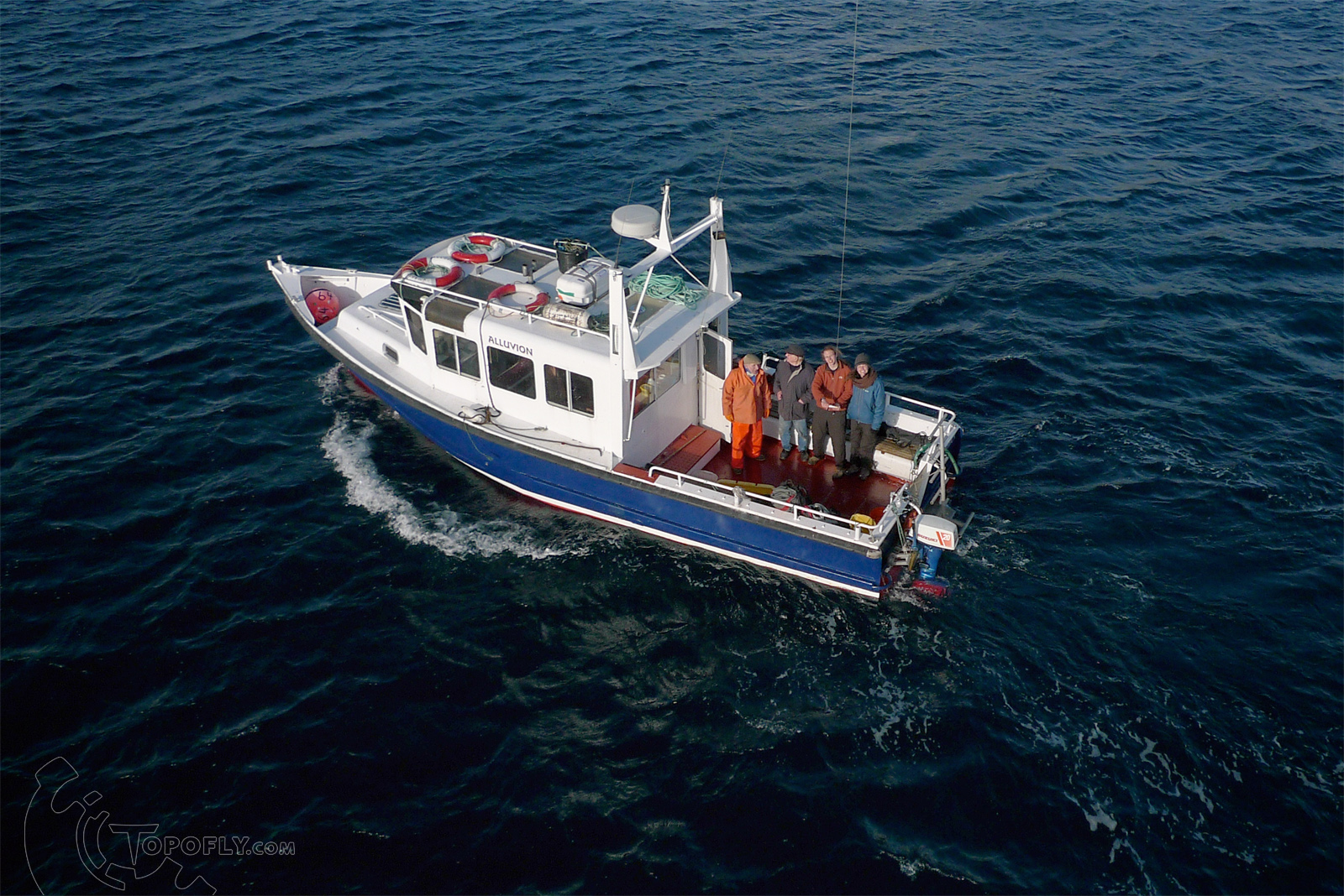
Further thanks are due to James Gentles and Dave Mitchell who were able to advise based on past experience of KAP within controlled airspace.

In the months before my field trip I was put in touch with the senior air traffic controller at Sumburgh. After establishing the details of the location, the height I would be flying at and the periods I would be flying for, permission was granted at the discretion of the air traffic controller on duty at the time, with the provision that I would be able to land all of my equipment on request if necessary. On arriving in Shetland I was shown the air traffic control tower which is directly across the bay overlooking Jarlshof. It was explained that the on-duty controller is always sat beside an assistant whom I would speak to in the first instance to request permission to fly.


Right: As well regular fixed wing aircraft Sumburgh Airport is frequented by helicopter traffic.
Once the procedures had been established I had a five day window for kite aerial photography with each session dependant on weather and on the demands of air traffic. All told I requested to fly five times, all of them for one hour apart from one sunset session which lasted an hour and a half. Sometimes I was able to fly straight away while on other occasions I had to wait for a quieter period, although the longest I had to wait was an hour. On a couple of occasions I was asked to bring my my equipment down while incoming planes and helicopters passed within close proximity. Where flight paths were far enough away to not be an issue both the pilot and myself would be notified of each others activities and we would both continue. On each occasion I would call to confirm when I was done and my equipment was back on the ground.

Once again the changeable Shetland weather provided the opportunity for photographs in different lighting conditions, the harsh sunlight above being perhaps the least useful. In bright but overcast conditions I was able to capture some material more suitable for photogrammetry to supplement my previous work with pole aerial photography towards a 3D mesh of the site.

The ambient light created by overcast weather also provided the best conditions to photograph the broch remains in their entirety, a view which can only be obtained directly above the west corner of the ruined laird's house wall. As usual conditions were most illustrative towards sunset when a low light angle picked up the subtle topography of the site.


Right: The kite and camera rig in action during patchy weather.
Below: In this general view the low light helps to distinguish the different layers of the site.

Low altitude aerial perspectives can provide a sense of depth and context which is often hard to achieve from manned aircraft. These unique shots are part of a wealth of material I was able to capture thanks to favorable weather and the generous assistance of the team at Sumburgh ATC, in particular Alan Smith who arranged provision for my visit. As well as making some very satisfying stills I hope to map some of these sequences onto my 3D representation of the site which in turn will be used as a basis for an interpretative reconstruction of the phases of habitation at Jarlshof.
Further thanks are due to James Gentles and Dave Mitchell who were able to advise based on past experience of KAP within controlled airspace.