


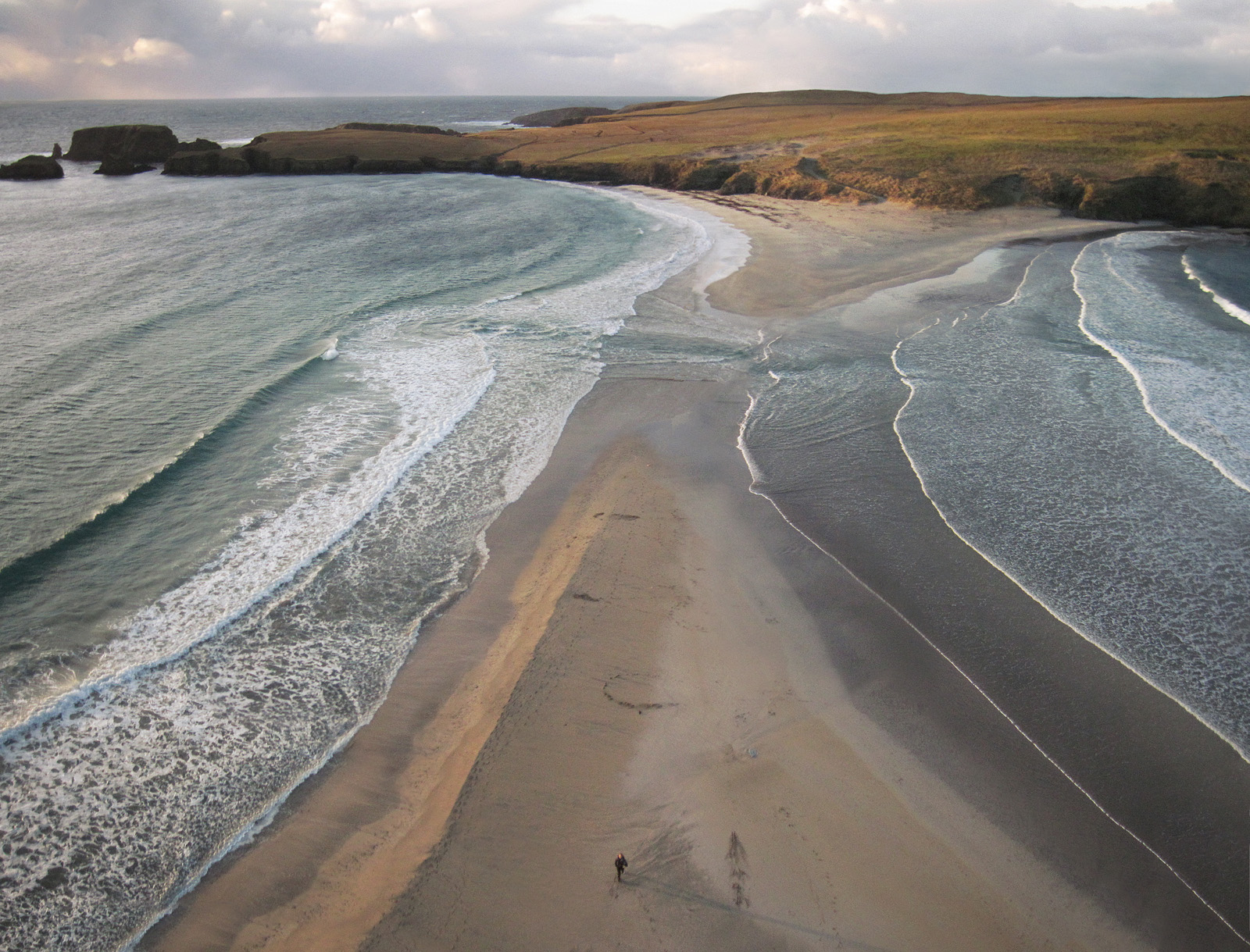
From above the scale of the sand bar an the force of the ocean become obvious making the figure look rather vulnerable. The dramatic conditions give a sense of the character of the place. It's isolation has played an important part in it's history providing safe haven at some times while ultimately leading to it's abandonment in 1796. In the view from above the limits of the small island are evident in the background of the sweep of the tombolo, a combination which is illustrated well from a low altitude angle.

I've left the kite line in this tighter angle shot, that's me trying to keep my feet dry with one eye on the kite!
More about the history of the island can be found on Shetlopedia.


No comments:
Post a Comment