


Right: Mousa island as seen from the South Mainland. The Broch is visible to the right hand side.
After making enquiries locally I contacted Shetland Sea Charters who operate the MV Alluvion out of Lerwick to arrange provision for a day trip to the island. Choosing a day when the weather was bright, albeit of the usual 'changeable' Shetland character, we motored out of Cunningsburgh and, rather than heading for the pier on Mousa, we went straight to the outcrop where the Broch stands to try some kite photography from the water.

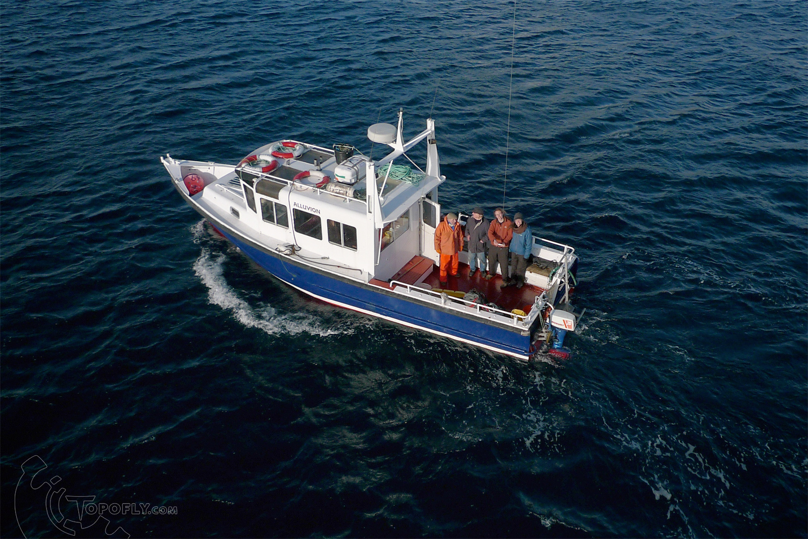
Right: The MV Alluvion and crew as seen from the kite. Launching and landing my equipment on that stern deck was something of a challenge, but luckily help was on hand.
With a great deal of patience and skill from the skipper and crew we positioned the boat just beyond the rocky shore to shoot these photographs looking down on the Broch within it's island context.

We then landed on the island to take more kite aerial photographs from the landward side, including some material suitable for photogrammetry. As the weather fluctuated between periods of sunshine, cloud and snow showers I was able to take photographs in different lighting conditions all around the broch exterior and interior.


On close inspection a courtyard wall is visible as a line of stones under the grass on the landward side of the broch. There are other features which suggest that a larger settlement extended beyond the Broch itself although the site has never been excavated.
As a particularly heavy snow shower set in we made haste back onboard the MV Alluvion, which had not been idle judging by the crate of fish on deck, and headed back again to the seaward side of the broch for some final kite shots.

A dusting of snow has remained un-melted in the shadows of this image naturally relieving the contrast. The site is particularly pleasing from this angle where the relationship between the monument and the surrounding land is very clear. The paths which radiate from the broch have probably been created by a combination of tourists and sheep taking shelter around the Broch site. This relatively untouched land may give a feeling for how it may have looked when the broch was inhabited and the shaping forces would have been restricted to manual farming and the movements of people and animals.
Some very satisfying results from a sucessfull day's flying and sailing!


It is easy to see from the arial view that the broch, is where the spiral circle carvings came from..they look just like what the broch apears like when viewed from directly above starting from the foundation stones, and working your way in, around the structure, to the top . What better way to identify your people than a graphic depiction of the stuctures you built. The construction of the broch was no small feat! =o)
ReplyDelete